Today I returned to Steptoe Butte to take some more pictures.
My goal was to be at the top just before sunrise, but even by
leaving at 05:00 I was an hour late. (Note to self and others:
be sure to double check time zone and DST settings when using the NOAA Solar
Calculator.) Despite the late arrival and somewhat hazy horizion, I
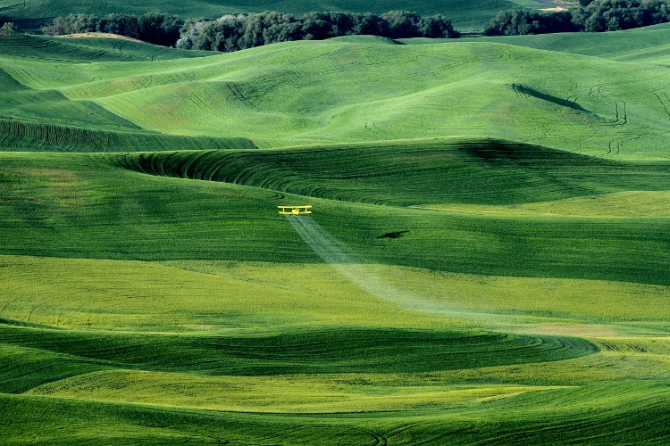
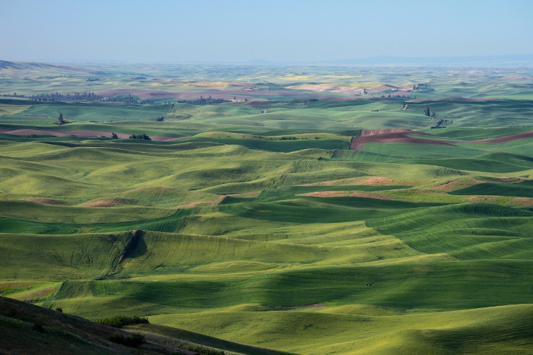
got a handful of pictures that I like (after color enhancing). I was especially
excited to see a crop duster working nearby.
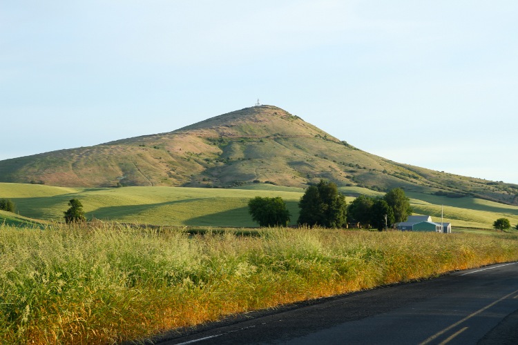
Steptoe Butte stands about 1000 feet above the surrounding terrain.
You can easily see it from a couple of places on highway 195 between
Colfax and Rosalia. Here's how it looks from Hume Road:
According to a placard at the top, the Butte is made of
400-million-year-old Quartzite. Up on the top it is easy to see
many rocks, which, not being a Geologist, I assume are Quartzite.
They certainly look different that most of the rocks around here.
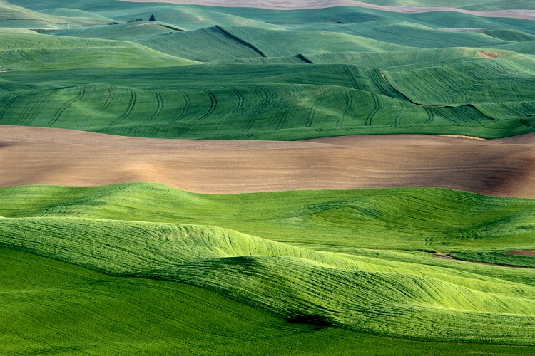
The Butte is surrounded by (volcanic) basalt flows, which are only 15-17
million years old. On top of the basalt is a couple hundred feet of fertile Palouse soil:
The Butte, and a nearby town, are named after US Army General Edward
J. Steptoe, who, in 1859, lost The Battle of Pine Creek against Native
Americans in the region. The Butte itself was not a factor in the battle,
which took place near Rosalia and along Pine Creek. There is a small Steptoe
Battlefield State Park in Rosalia.
Whats great though, is that Steptoe Butte is the model and namesake
for all geologic formations of this type. Islands of older rock that
are surrounded by newer volcanic flows are called Steptoes!
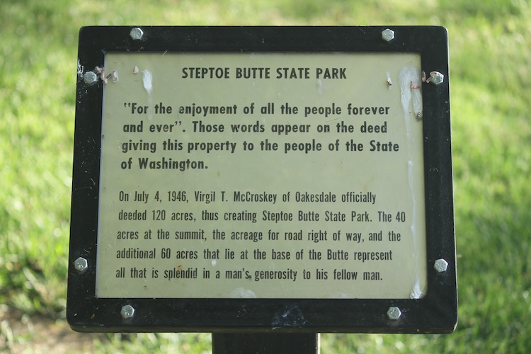
In 1947 Virgil McCroskey donated the land for use as a state park
with the instructions "For the enjoyment of all the people for ever
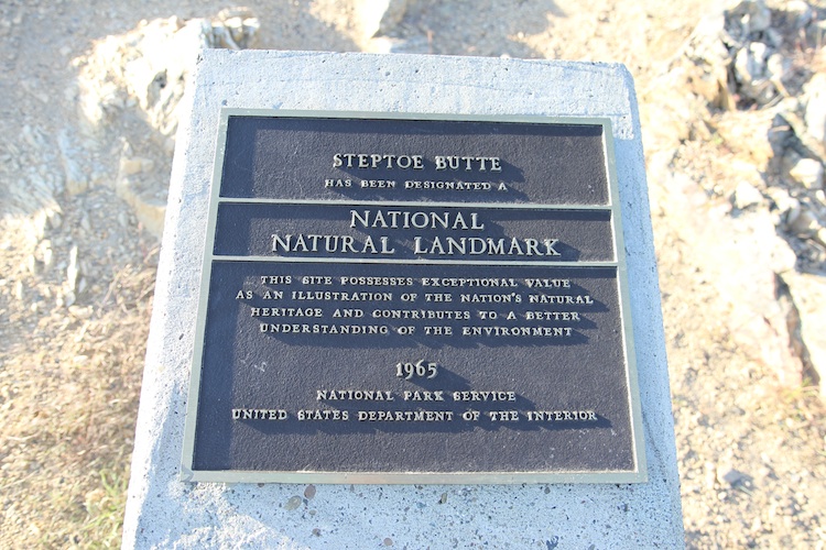
and ever." In 1965 it was declared a National Natural Landmark. Its a
popular location for photographing the Palouse. A number of professoinal
photographers offer workshops where they take students up to the Butte.
